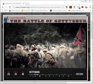
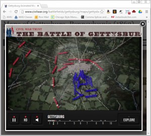
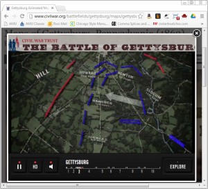
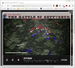
In preparation for the sesquicentennial, the Civil War Trust has just released a series of animated maps of the Battle of Gettysburg. This is more than just lines moving on a static map. Instead, this includes re-enactments, photos, and impressive computer-animated maps, all with music and narration.
Providing blow-by-blow descriptions on the corps level, this animated map shows how the battle ebbed and flowed for three days over roughly 15 square miles of terrain.
In addition, the map demonstrates how the Union had tactical advantages on days two and three of the battle, explaining concepts such as “interior lines.”
The map also provides even-handed attention to all aspects of the battle, not just the popular spots (e.g., Little Round Top). There is plenty of coverage on the events of Culp’s Hill and Cemetery Hill, the latter of which could have resulted in a Confederate victory on the second day. There is even coverage of the actions at East Cavalry Ridge, three miles east of Gettysburg, which occurred during the heaviest fighting on the third day.
Finally, the maps cover Lee’s retreat to Virginia and the effects on the town of Gettysburg.
The whole thing is more like a battle documentary than mere animated maps. With the ability to pause, skip forward, and jump to specific parts, the maps are a prime example of online education at its best. Those who are interested in Gettysburg can get a great overview. Sometimes all you need is a little context before diving into the details of a war, campaign, or battle.
By Scott Manning
Online Learning Tips, Student Contributor


Comments are closed.